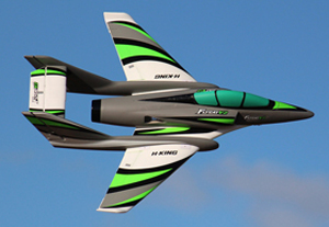
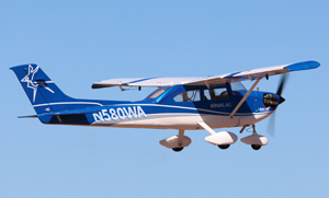
0–15 km/h — Ideal / Good Calm air, perfect for beginners. Lightweight trainers fly smoothly without getting tossed around.
15–30 km/h — Caution / Tricky Manageable with a few flights of experience. Lighter foam models will get bounced around, and crosswinds/gusts make control difficult.
30+ km/h — Advanced Not recommended for beginners.
These are the same thresholds used for the Wind Speed and Wind Gust lights above.
✈ TAF Forecast — Emerald Airport (YEML)
24-hour aerodrome forecast including cloud base height. Opens in a new tab — select Queensland then type YEML.
Source: Bureau of Meteorology / Airservices Australia
✈ Today's Wind Forecast
Hourly wind speed and gust forecast for the Emerald airfield area. Source: Open-Meteo.
Loading forecast…
Wind speed (avg)
Peak gust
Dashed threshold: caution 15 / high 30 km/h
✈ Tomorrow's Wind Forecast
Hourly wind speed and gust forecast for the Emerald airfield area. Source: Open-Meteo.
Loading forecast…
Wind speed (avg)
Peak gust
Dashed threshold: caution 15 / high 30 km/h
Battery Voltage Trend (Last 3 Days)
Tracks the station's solar battery over time so a slow decline can be spotted before it goes flat.
Collecting readings…
Not enough history yet – the trend will build up over the next few days as readings come in.
Reference lines: red = 12.0V | amber = 12.6V
Airfield Weather Station — VK4CWL-13
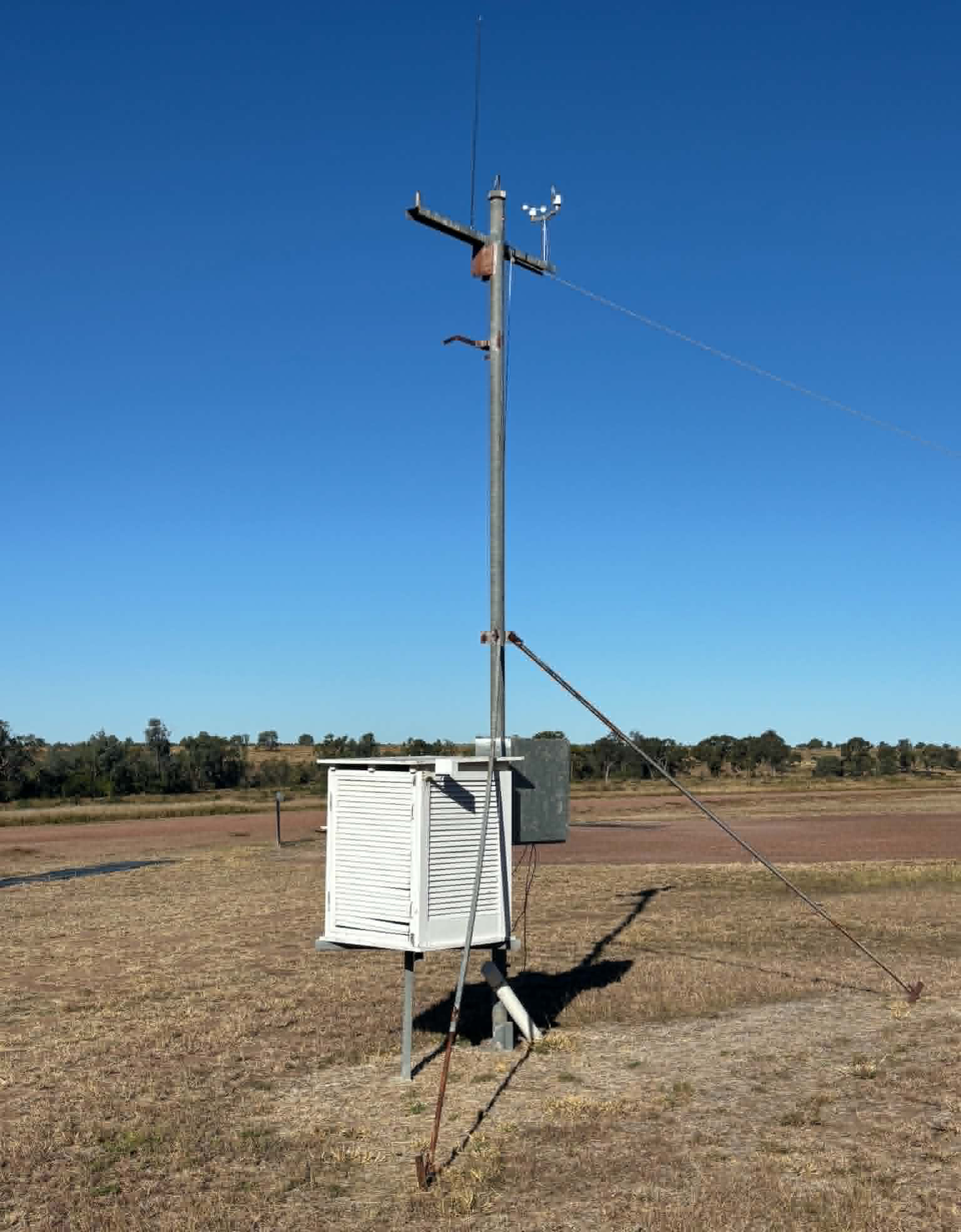
The CHMAC automatic weather station at Mosquito Creek airfield. The white louvred enclosure (Stevenson screen) houses the temperature and humidity sensors. The anemometer at the top measures wind speed and direction.
Weather station overview — Stevenson screen and mast
Wind vane and anemometer detail
Live Signal Path
The real route this station's data is taking right now, from the airfield through any digipeaters to the internet gateway that uploads it.